The Christopher S. Bond Bridge is under construction right next to the Paseo Bridge it will replace.

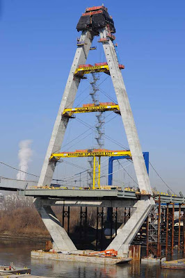
Suspended by a delta-shaped pylon the new Missouri River Bridge, shown below, will be a two-span structure with a 550-foot main span and a side span of 451 feet. The top of the pylon will be about 316 feet above the average river level. (Image below and at the conclusion of the post courtesy of Bradley Touchstone)

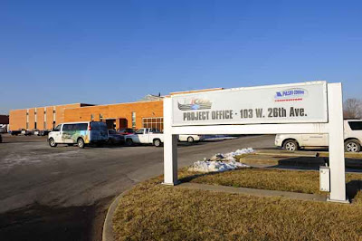
The process for constructing something this massive has always fascinated me. Through the kindness of Laura Wagner, Information Officer for the construction side of the project, I got to take a closeup look at the site. Below is the sign and building for KCICON the project management team.

The 245 million dollar project is more than just the bridge... it will also widen the I-29/35 corridor from two lanes in each direction to three. As shown on the map below the contruction spans a 4.7 mile section of roadway from just north of Armour Road to the northeast edge of the downtown loop.

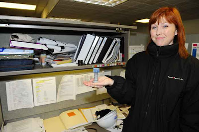
Laura, below, displays one of the thousands of bolts that will hold this bridge together... and the second pix below shows a section of rebar that will reinforce the concrete deck of the bridge.. 235 miles of rebar to be exact...


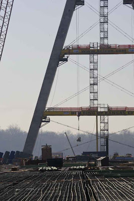
Above new and old side by side Paseo Bridge on the left and Bond on the right. Below, view from the base of support columns for both. Pylon visible in the center.

The new river bridge will be 124-feet wide (left above) capable of carrying eight traffic lanes and a pedestrian/bicycle path.... the additional lanes and path would require future work to widen connections to the north and south of the structure. This widening is not in the current budget.
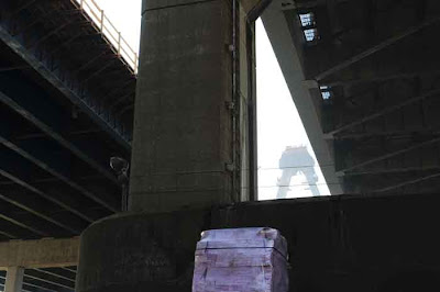
Large steel supports footed in concrete support the north section of the bridge... eventually the superstructure will be supported by 40 stays radiating in a semi-fan arrangement from the pylon.


Above, looking south, Bond, Paseo and City.

Below and above... the new bridge, at its closest point, is only six feet from the existing Paseo Bridge.

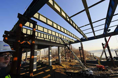
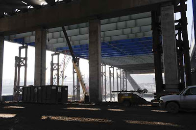
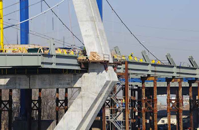
Above... steel structure being put in place prior to the precast concrete slabs being dropped into place to form the base of the bridge deck.


Deck is composed of precast concrete sections lowered into place. Rebar is then put in place and covered with concrete... then another layer of concrete comprises the road bed.


Above... precast concrete slabs being delivered to the site before being craned into place on the deck.

50,000 cubic yards of concrete will be used in the project along with 8 million pounds of steel.
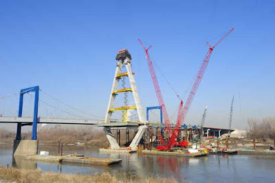
The pylon was to be "topped" last week... huge cranes, one brought in from Amsterdam, are needed to reach the 316 feet to the "point."
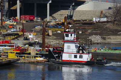
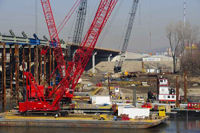
Barges and their tugs are an essential element in delivering materials to the bridge as well as acting as anchored bases for the cranes.


Once the northern half of the bridge is complete the southern half will be cantilevered out a section at a time from the central support. Steel support columns will not be used for this half as the navigation channel in the river cannot be blocked.

Hyper doesn't like heights but they don't bother the iron workers... I envy their fearlessness...

Above another view from the south bank of the Missouri showing the temporary steel supports under the northern half of the new bridge.

Above and below.... when I say barges and tugs are essential... I mean it... note the PortaPotty being barged out and then craned into place.

Construction on the MoDOT project broke ground in April of 2008 and is scheduled to be completed by July 31, 2011. The bridge will be lit at night using lights that can display a single color or a series of colors that can result in an unlimited variety of lighting combinations. Once the new bridge is up and running the old Paseo Bridge will be torn down.

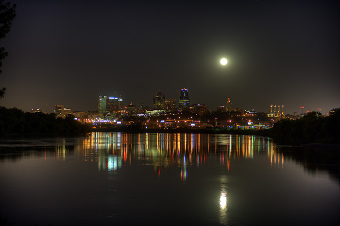
 Noticed while driving that it was a full moon.... so rushed to Kaw Point in Kan Kan just in time to snap a few shots. Going back again tomorrow night with better gear. (AND BUG REPELLENT) Top image is a combination of 5 exposures... bottom image is just one.


