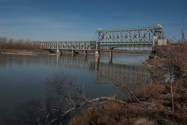
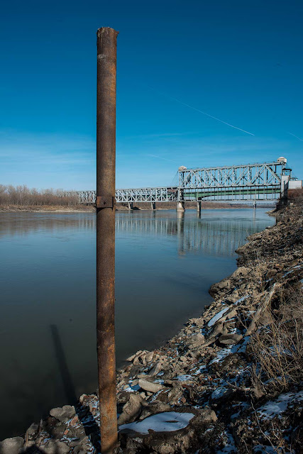
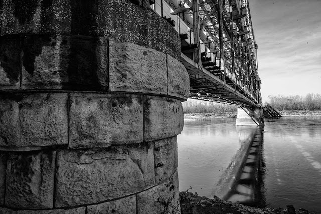
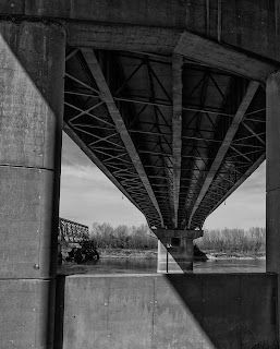
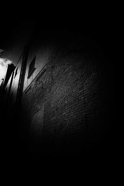
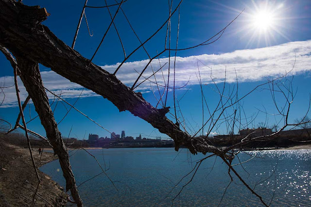
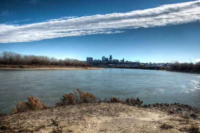
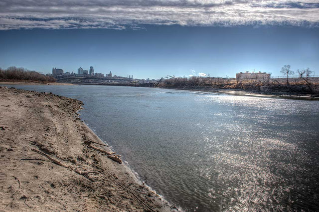
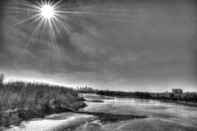
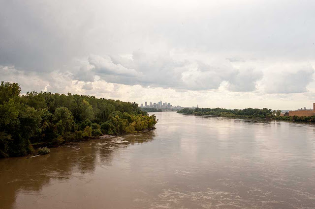
Headed down to the River with fellow blogger XO today. Water level is very low.... the pole was two thirds under water last spring... All images copyright 2013 David Remley
According to the National Weather Service the Missouri River level is between five and
six feet.
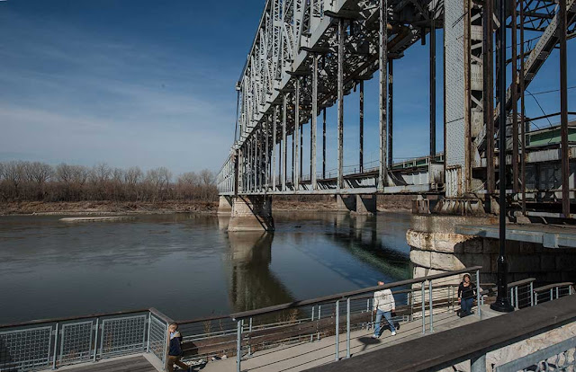
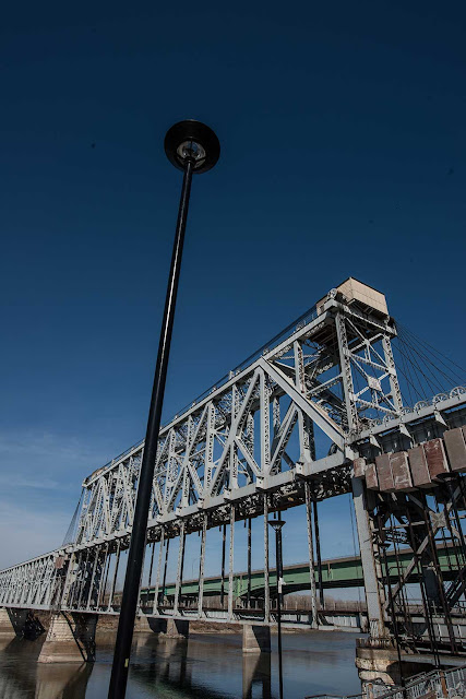
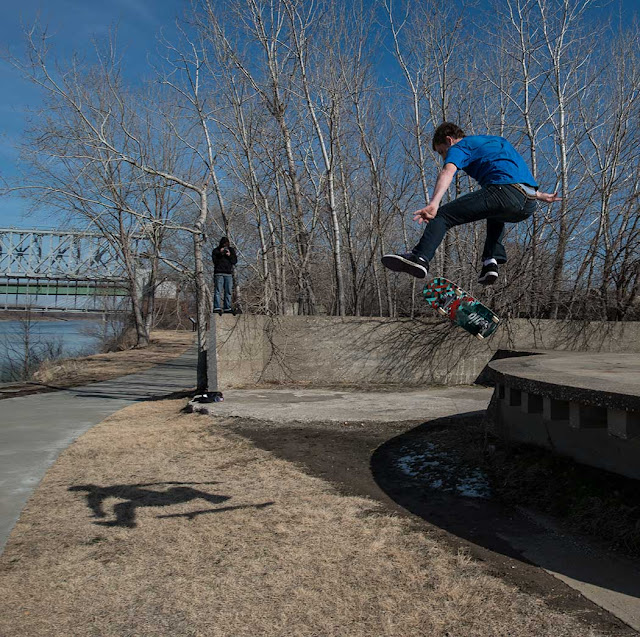
Large numbers of people were using the River Walk today... bikers, skateboarders, hikers, walkers, and runners... Below the portion of the walk that goes under the ASB Bridge. Above the walkway from the end of Main Street to the river observation tower.
Above, Heart of American underbelly, below, good flight... not so good landing....
Sunday, February 17, 2013
Wednesday, February 13, 2013
Sheffield
Sunday, February 10, 2013
Monday, February 4, 2013
Saturday, February 2, 2013
Friday, February 1, 2013
Tuesday, January 22, 2013
Sunday, January 20, 2013
Saturday, January 19, 2013
Low Down On Kaw Point
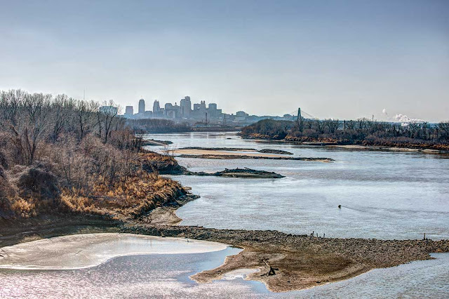
Went on a photog-safari today with some new friends. Took them to Kaw Point. Water is very low
there too due to the on-going draught.
there too due to the on-going draught.
All the bank showing in these pictures was under water last spring. Above, Kaw on the right, Missouri River on the left.
Above, Kaw River flowing into the Missouri River KC Skyline in the background.
Monday, January 14, 2013
Mighty Mo Gettin' Low
Sunday, January 13, 2013
Thursday, January 10, 2013
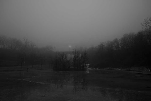
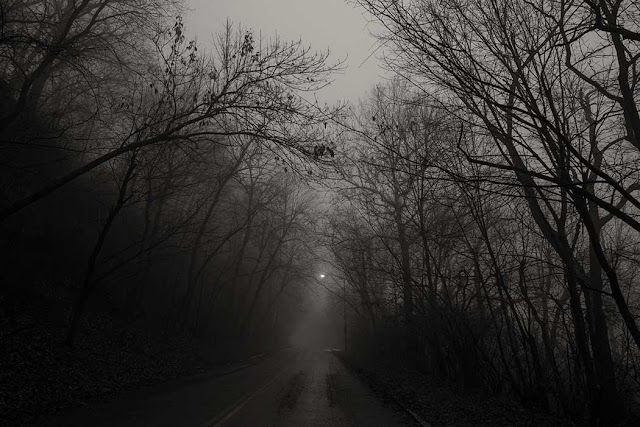
Foggy Day
Sunday, January 6, 2013
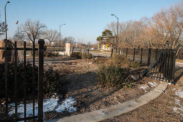
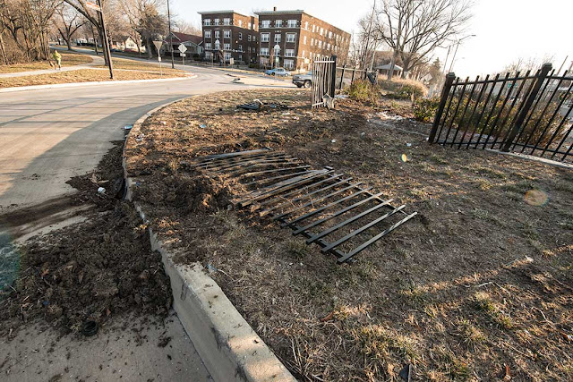
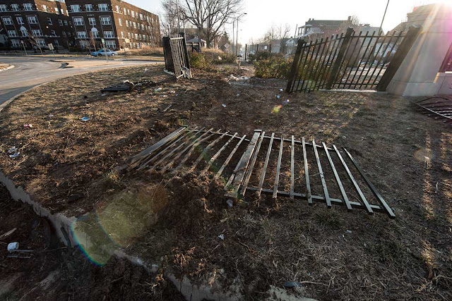
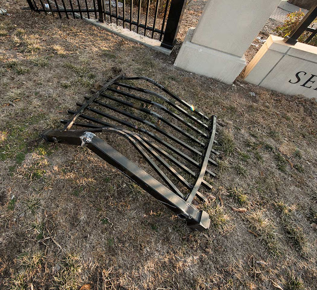
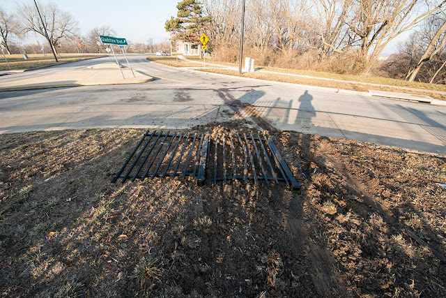
DUMB + Vehicle + DUMB + Speed = DUMB
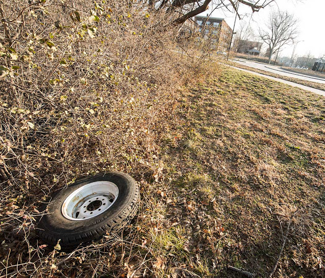
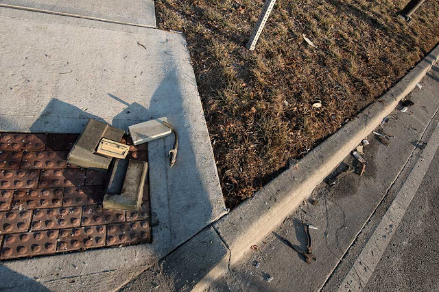
Some genius managed to drive clear through the Thomas Hart Benton Memorial last night. These are iron fences folks... he/she/it had to be going 80 or more to get through both.. Tore up everything.
Truck (I'm assuming here) parts are all over the place as well as a lot of tools.
The Parks Department had just finished repairing the fence from another driver's fence encounter.
Truck (I'm assuming here) parts are all over the place as well as a lot of tools.
The Parks Department had just finished repairing the fence from another driver's fence encounter.
Subscribe to:
Posts (Atom)
